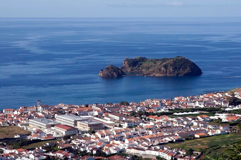
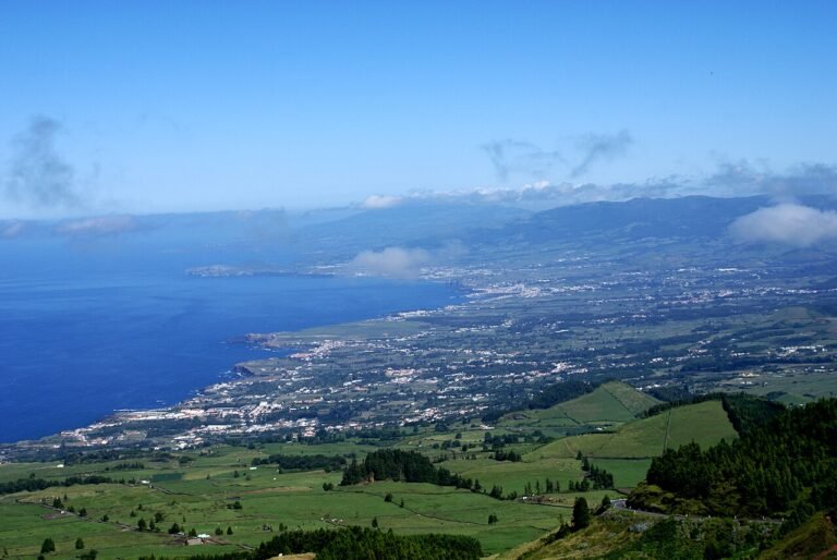
Crater lakes, hot springs, tea plantations and the archipelago’s liveliest town.
Read guide → 🗺 Interactive map
Free interactive maps · 9 islands
Tap an island
to open its map
Crater lakes, hot springs, viewpoints, beaches and natural pools, with directions to every spot.
Interactive maps of the Azores islands: crater lakes, hot springs, viewpoints, beaches and natural pools — with directions to every spot.
9 islands, each with its own colour nickname.
Crater lakes, hot springs, tea plantations and the archipelago’s liveliest town.
The sunniest island: white-sand bays, vineyards on terraces and a red clay desert.
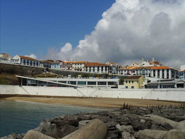
UNESCO-listed Angra, lava caves you can walk into and a festival every weekend.
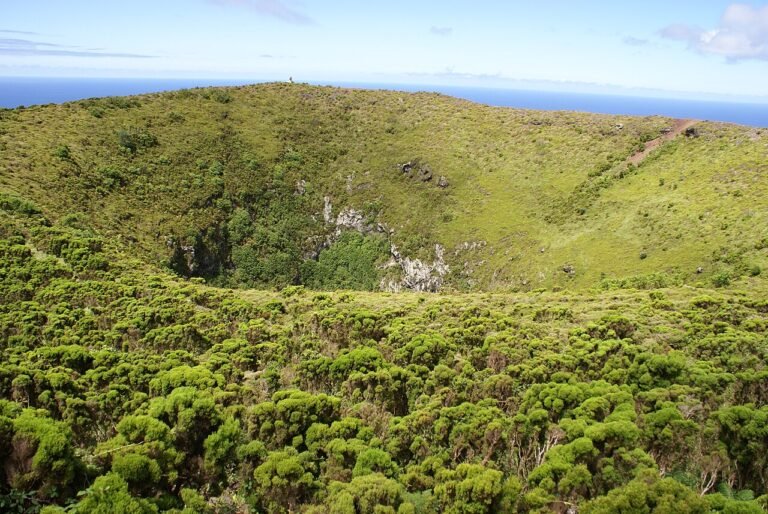
A quiet biosphere reserve with windmills and a lake inside a sulphur cave.
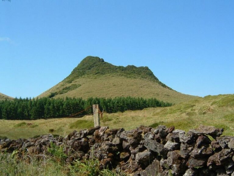
A long blade of cliffs with fajãs at their feet — and the famous cheese.
Portugal’s highest peak, lava-stone vineyards and the best whale watching.
Hydrangea hedges, the sailors’ marina in Horta and the Capelinhos volcano.
Waterfalls everywhere, basalt organ pipes and Europe’s westernmost edge.
One village, one crater and a few hundred people on the smallest island.
Azores map
The 9 islands and their most popular places. Tap a photo to see the place, or an island to open its interactive map.

Azores map basics
The Azores are a Portuguese archipelago in the middle of the North Atlantic, about 1,400 km west of Lisbon and roughly 3,900 km from the east coast of the United States. The nine volcanic islands stretch over some 600 km of ocean and fall into three groups:
Each of the nine islands has its own detailed interactive map with viewpoints (miradouros), crater lakes, hot springs, natural pools, beaches, peaks, sights and restaurants. Every place has GPS coordinates and one-tap directions, and the maps work on your phone while you explore. Pick an island above, or start with the São Miguel map — the biggest and most visited island.
Worth the detour